
Grove City Previous Residents by Era
A backward address trail has more than one time scale. The Recorder holds the recorded land history. Directories and phone books may place an occupant at an address in a particular year. Federal census schedules add household context through their public release. The City’s permits and zoning material may establish a project timeline, but older coverage has not been verified as a complete online run. The table separates what each source can actually add to a question about past residents of a Grove City address.
| Source | Verified period | Where to use it | What it adds |
|---|---|---|---|
| Franklin County deed indexes | 1804-1913 historical collection; current search has a live certification date | Recorder historical guide, Official Records Search, and counter | Party indexes, handwritten index pages, volume and page, conveyance trail |
| CML city directories | Physical collection from 1841; digitization is selective and in progress | Columbus Metropolitan Library Local History & Genealogy and Digital Collections | Dated address and occupant evidence when the actual volume covers the place |
| Telephone directories | 1944 Grove City-inclusive item; several earlier Franklin County phone books | CML digital city-directory collection | Regional telephone and address clues tied to the publication year |
| Federal census | Public schedules through 1950 | Census access points and CML LHG microfilm or databases | Household composition at the enumerated address or area |
| Permits and zoning | Current GovWell process announced in 2026; older full coverage not verified | Grove City Building & Zoning or focused records request | Project and inspection chronology if a particular file is retained and public |
Begin with the parcel and latest transfer when the date is unknown. Begin with a specific volume when a family date is already known. A directory entry is dated evidence of an occupant, not automatic proof of ownership. A deed is evidence of a transfer, not proof that every listed party lived at the property. Those distinctions are the foundation for reliable previous-residents research.
Start with a Grove City Parcel
The best first record for past residents is the current Franklin County Auditor parcel card. Search by address, then save the owner of record, site address, mailing/contact address, parcel ID, legal description, and latest transfer date and instrument. The card can also show city or village, township, tax district, ZIP, and map routing. These fields help identify the land that must stay consistent as the research moves into older documents.
Do not treat the mailing/contact field as a former resident field. It may be a post-office box, company, lender, attorney, or an address for another property. The owner likewise may not be an occupant. The parcel card is a bridge from a present address to the legal description and transfer history, which is why it comes before a name search in the deed index.
Use the Franklin County Auditor Property Search for the starting parcel, and check a significant discrepancy with the Auditor Real Estate Division at 614-525-4663.
Grove City Deed Indexes Before 1914
The Recorder’s historical-search brochure supplies the key older route for a Grove City address: Deed Indexes 1804-1913. It specifically identifies a Grantee Deed Index for 1804-1888. These are index collections, not a promise that a modern address can be typed into a single form. The path is surname or party to a handwritten index page, then to the volume and page of the deed. For the best historical result, the Recorder advises research at its 18th-floor office at 373 S. High Street in Columbus.
Some records destroyed in the 1879 fire were reconstructed. That is a reason to record the exact source and any gap in a chain, not a reason to assume a missing entry proves no transfer occurred. The Recorder’s counter is open Monday through Friday, 8 a.m. to 4 p.m., with recording ending at 3:45 p.m.; phone 614-525-3930 for historic research procedure. The current online search and the counter are complementary channels.
Review the Recorder’s historical deed-search guide before working the handwritten-index route.
The guide documents the index collections and provides a more reliable starting point for an early deed trail than a presumed street-address search.
Trace the Franklin County Deed Chain
A deed chain follows ownership backward through a series of recorded transfers. From the Auditor card, take the most recent owner or buyer, transfer date, instrument, and legal description to the Recorder’s Official Records Search. Quick Search accepts a term for grantor, grantee, subdivision, document type, or document number, plus an optional recorded-date range. Index-only searching treats multiple words separately, while the OCR option searches a multiword phrase through document content. For a conveyance trail, party names and legal description remain more dependable than a street string.
- Capture the current parcel ID, legal description, transfer date, and owner from the Auditor record.
- Find the owner or buyer’s purchase instrument in the Recorder index and save both party names, the recording data, and the legal description.
- Use the seller or grantor from that instrument as the grantee in a search for the earlier purchase.
- Repeat the buyer-to-seller handoff, comparing the legal description, subdivision, lot, or plat at every link.
- Move to the 1804-1913 historical index route and Recorder counter when the later online pathway no longer supplies the needed record.
- Grantor / grantee
- The grantor transfers an interest in the property. The grantee receives that interest.
- Chain of title
- The sequence of recorded conveyances and related interests used to trace property ownership over time.
- Legal description
- The recorded lot, block, subdivision, condominium, or survey identity of land. It can survive better than a familiar street address in older records.
Note: A break in a deed chain should be noted and verified through the Recorder, rather than filled with a guess about who owned the property.
Use Grove City Legal Descriptions
Legal descriptions become especially important in the old Town Center area. Grove City’s original plat was approved in 1852, and the City describes early growth as a compact grid around Town Center. A.G. Grant’s 1889 Beulah Addition is a useful example of the kind of subdivision and plat clue that can bridge an old property reference to a later parcel trail. Compare the parcel’s modern legal description, recorded plat, and deed language before deciding that an older address is the same place.
The research did not verify a citywide renumbering date or a complete citywide street-rename history. An apparent mismatch is therefore a research checkpoint, not a fact. Compare the description, lot and block, map routing, and recorded transfer sequence. The GroveCity2050 plan provides the verified original-plat and Town Center context; Recorder and library staff are better sources for a specific continuity question.
Date Grove City Past Households
Previous residents require a dated household source after the ownership trail has identified the property. Columbus Metropolitan Library’s house-history method connects the Auditor parcel to the Recorder deed, then a yearly directory occupant, census enumeration and neighbors, and a historic map. City directories list people alphabetically and, beginning in 1911, include a by-street or address section. An entry identifies an occupant in that volume, not necessarily a legal owner. Check the actual volume for Grove City coverage rather than assuming a Columbus directory reaches every municipality.
Pair the address found in a directory with the closest useful census year, then compare it with the deed chain. Census geography and current city limits can differ, so capture the enumeration details rather than simply copying a familiar street label. Obituaries, cemetery material, and Probate Court records can help close a historical trail where lawfully public, but they should be read for the period and person they identify. A directory entry should not be carried forward to a modern household without corroboration.
- Locate a directory or phone volume around the period under study and confirm that its coverage includes the address area.
- Record the address, exact publication year, spelling, and any household information visible in that entry.
- Compare the entry with the nearest census schedule and its enumeration geography.
- Check the same period against the Recorder transfer and legal description, then repeat with the next earlier or later volume.
The collections and instructions for using their volumes are concentrated in the Grove City city directory collection, while the deed chain keeps the past-residents question tied to one property.
Lawful use. Use previous-residents research for family history, property history, estate questions, or civic curiosity. Do not use historical or current records to track, stalk, harass, or harm a living person.
Grove City Telephone Directory Evidence
The CML Digital Collections provides a verified 1944 Columbus Telephone Directory item whose title information explicitly includes Grove City among the communities. That makes it a useful dated lead for a local address or name, but it does not mean every volume or page has the same municipal coverage. CML also documents Franklin County phone books for 1914, 1926, 1932, 1935, and 1936. Read the title, date, and entry in the volume itself before treating it as an address match.
The 1944 item is part of the wider city-directory collection, which is being digitized selectively. CML’s Main Library Local History & Genealogy department also holds physical city directories back to 1841, with directory collection access, microfilm and microfiche readers, scanners, research computers, and staff. Its house-history route is a safer research path than relying on a single digitized search result.
Open the 1944 telephone directory record to inspect its community title information.
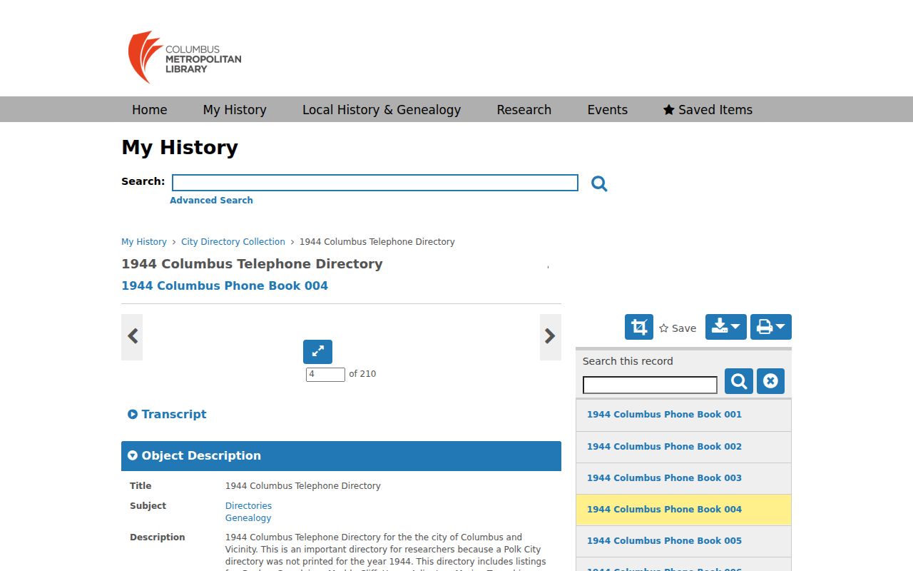
The dated directory source can support an occupant or telephone clue only when its entry and geographic coverage fit the address question.
Grove City Map Coverage Needs Proof
Maps can clarify a property’s footprint or a historical location, but the collection names alone do not establish Grove City coverage. CML LHG lists Caldwell, Baist, Modie & Kilmer, Franklin Survey, and several Sanborn runs among its map holdings. The documented Sanborn years are Columbus-specific unless an actual sheet proves Grove City coverage. That caveat matters when a past-residents trail depends on whether a building or street appeared in a particular year.
Use the library catalog, Ohio History Connection, or Library of Congress by title and place to verify a particular sheet before citing it. The CML house-history guide also cautions that a pre-1920 Auditor year-built value may be approximate or wrong. Triangulate a date through deeds, directories, census work, and a confirmed map rather than turning an unverified map run or appraisal field into a conclusion.
Grove City Permit Dates Need Context
Building and zoning files may add a project or inspection date to a property history, but the City’s online process changed in 2026. CityView retains applications submitted before September 1, 2026 for inspections and later activity. Grove City announced that new code-enforcement complaints and zoning-permit applications move to GovWell, where users can submit, track status, and access information. A blank newer-portal result does not prove there was no earlier CityView record.
For an older or non-searchable file, contact Grove City Building & Zoning at 4035 Broadway, 614-277-3075, or make a focused request for an existing nonexempt record under ORC 149.43. The City’s own forms identify 040 as a Grove City parcel prefix and 160 as Jackson Township. That jurisdiction check can explain why a municipal permit route does not hold the expected record.
Note: Permit data can establish a retained project or inspection trail, but it should not be used to declare who lived at the property.