
Grove City ZIP Code Directory Coverage
The Grove City ZIP code directory is best read as a delivery and parcel-geography reference, not as a list of everyone living in a postal area. An official Franklin County Auditor Tax Parcel layer was queried with City tax district 040. It verifies a large 43123 core and small City-tax-district overlaps in 43137 and 43146. The City address at 4035 Broadway uses 43123, but an individual delivery code still needs an address-level check.
| ZIP | Areas Covered | Post Office | Notes |
|---|---|---|---|
| 43123 | 16,457 City-tax-district parcel features; the dominant Grove City core | Grove City delivery ZIP; verify the specific address with USPS | Extends beyond municipal residents. Use City/Village, Township, and tax district fields for jurisdiction. |
| 43137 | 21 City-tax-district parcel features, including parts of Hibbs Road | Not captured in research | Small southern municipal overlap. Verify the exact address before naming a station or route. |
| 43146 | 2 City-tax-district parcel features, including 3800 Zuber Road and an associated parcel | Not captured in research | Very small municipal overlap. Postal label does not settle city jurisdiction. |
| Null field | 1,294 City-tax-district feature records | Not a postal area | A null parcel ZIP is not an unaddressed delivery area. Verify the particular feature before stating a ZIP. |
These counts come from the official Parcel Features query route, not from a postal roster. A null GIS field may reflect right-of-way, an unaddressed feature, or incomplete property data. It should never be recast as a fourth Grove City ZIP code.
Grove City ZIP Counts and Tax Districts
The numbers in the table measure parcel features inside City tax district 040, not population, postal customers, or households. That distinction matters. A parcel feature can be land, a right-of-way-related record, or another mapped property item, and a parcel owner is not necessarily an occupant. The query is still a useful local checkpoint when a Grove City mailing address seems to cross a municipal edge.
The Franklin County Auditor parcel card illustrates the separate property fields used in this check.
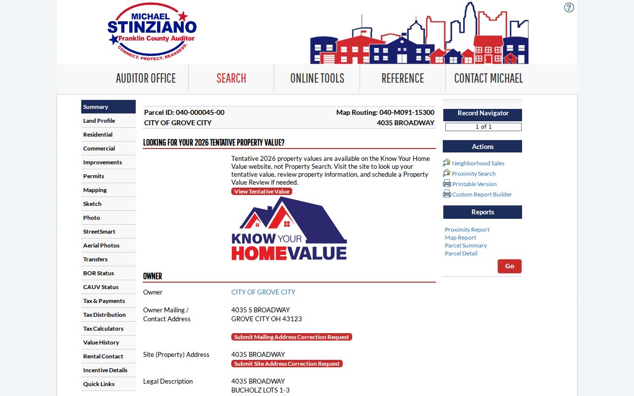
A parcel card separates owner, owner mailing/contact address, and site address. It can also show the parcel ID, legal description, transfer facts, tax district, City/Village, Township, school district, and ZIP. Each field has a different purpose. A mailing/contact address is not proof of residence, and the displayed ZIP is not proof of municipal jurisdiction.
Note: Use the tax-district field to test local jurisdiction, not the postal city printed in an address.
Search a Grove City ZIP Code Directory
Use a ZIP code to organize a local search, then move to the tool that actually accepts the available fact. The Auditor does not offer a verified basic search that returns all parcels in a chosen ZIP. Its basic modes are Owner Name, Address, Parcel ID, Subdivision & Condo, Advanced Search, Map Search, and Intersection Search. The search should therefore begin with an exact address, owner, parcel, or map area, not a promise of a ZIP-wide resident list.
- Verify the delivery ZIP for the exact Grove City address through USPS. Keep that result separate from city and tax jurisdiction.
- Search the Auditor by Address, Owner Name, or Parcel ID. The address form separates street number, direction, street name without the suffix, and unit.
- Read the parcel card's site address, ZIP, City/Village, Township, tax district, and legal description. Record the parcel number without dashes when using the portal.
- Use the Parcel Viewer By Shape, By Value, or an address-linked parcel to examine a mapped area. For a particular voter question, the official state lookup verifies a named person rather than creating a ZIP roster.
Once a ZIP has narrowed the place, the Grove City street directory has the address-by-address workflow. It uses the Auditor's street syntax and the Recorder's legal-description trail rather than treating a ZIP as a street index.
| Tool | Documented field or action | ZIP role |
|---|---|---|
| USPS ZIP Lookup | Enter the exact address to verify delivery service | Confirms postal routing for that address, not ownership or city limits. |
| Auditor Property Search | Owner, Address, Parcel ID, Subdivision & Condo, Advanced, Map, or Intersection mode | No basic ZIP-code field was verified. A found parcel card displays ZIP separately. |
| Parcel Viewer | By Shape, By Value, or By Spatial after finding a parcel | Tests mapped geography and local layers; it is not a postal resident directory. |
| Ohio voter tool | First Name, Last Name, and County are required | Confirms a named voter in the appropriate county, not every voter in a ZIP. |
The Auditor's address method is concrete when a ZIP supplies only a starting area. Enter Street No, Direction, Street Name Only, and Unit as available. Do not add a street suffix such as Road or Avenue to the Street Name Only field. A wildcard can help with an uncertain spelling or a full street, and the official examples include 373 S High, *High, and S *High. The portal warns that an incomplete or unmatched address, owner, or parcel query may return up to 500 results, so narrow a broad result with the parcel detail rather than treating it as a ZIP-wide record set.
The Auditor publishes weekly property-sales reports arranged by ZIP, but the research did not verify an interactive basic search that returns every parcel in 43123 or another ZIP. For a voter matter, the Secretary of State's DATA Act portal has daily county registration snapshots, while a custom range requires a name and email and has date and county limits. Those official access paths have their own statutory exclusions and are not a local ZIP roster.
Grove City USPS and Parcel Checks
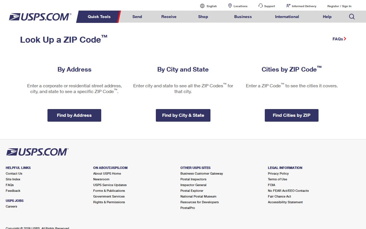
The USPS ZIP Code Lookup is the right checkpoint for a delivery ZIP. Use the full address and preserve the result as postal information only. The Auditor remains the authority for the property record, and its Parcel Viewer supplies the local map and tax-district context. When the two systems point to different concepts, they are not necessarily in conflict. They were built for different jobs.
The USPS address lookup source is shown below.
For a City-tax-district count or a geographic question, use the official Auditor GIS query instead. The Parcel Features layer query is the source for the documented 43123, 43137, 43146, and null-field counts.
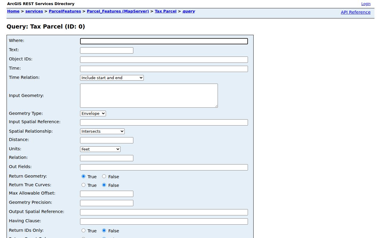
The GIS result gives a parcel-layer count. It does not state that every feature has mail delivery or that all people associated with an address reside there.
Grove City ZIP Code Boundary Limits
A ZIP code is a USPS delivery-routing geography. Grove City limits, Franklin County tax districts, townships, school districts, voting precincts, and permit jurisdiction are government geographies. A 43123 mailing label can be outside the City, while small pieces of the City can use 43137 or 43146. Search results need the parcel's City/Village, Township, tax district, and legal-description fields before choosing an office or drawing a city-limit conclusion.
- ZIP versus ZIP+4
- A five-digit ZIP routes mail to an area. ZIP+4 adds a more specific delivery segment and does not identify a property owner or jurisdiction.
- PO-box ZIP
- A ZIP associated with post-office-box delivery. It is not evidence that a physical property lies in the same municipal area.
- Unique ZIP
- A postal code assigned for a single organization or delivery arrangement. No Grove City unique ZIP was verified in the research.
- Carrier route
- A mail-delivery sequence used by USPS. It is a delivery concept, not a city boundary or public resident roll.
Boundary check. A Grove City postal label is not a jurisdiction finding. Confirm the parcel's tax district and City/Village fields before choosing a records counter.
Grove City ZIP Code History Checks
For a historical or newly developed address, preserve more than the current ZIP. Grove City was platted in 1852, and the City plan describes early Town Center growth around a grid. Record the modern situs address, parcel ID, legal description, and current transfer first. Then compare the Recorder's instruments, plats, and dated directory or map references. A legal description can bridge a changed street name or number better than a current postal label.
The research did not confirm a citywide renumbering or street-renaming year. Treat an apparent mismatch as a research checkpoint. Check the plat, parcel map, recorded legal description, and local-history staff rather than assuming that a current address string must appear in an older source. The GroveCity2050 Plan documents the original plat and Town Center pattern.
Annexation is another current-address checkpoint. City material records roughly 565 acres approved for annexation in the Southwest Regional Medical and Innovation Gateway area in 2022. For a recently annexed parcel, compare address assignment, legal description, zone, and tax district. The ZIP code directory remains a delivery reference while those local fields identify the correct record jurisdiction.
Grove City ZIP Code Permit Split
Grove City forms identify parcel numbers beginning 040 as City parcels and 160 as Jackson Township parcels. The forms direct township residential building work to Franklin County Building, while township commercial projects generally go to Grove City Building except plumbing. That is why a Grove City, Ohio 43123 mailing address cannot by itself choose the permit counter. Check the Auditor tax district and parcel prefix first.
The City announced on August 3, 2026 that code-enforcement and zoning-permit applications were moving to GovWell. New work transitions from CityView on September 1, while legacy applications remain in CityView. Use the City's GovWell transition notice for current process information. When an older permit or a non-searchable case is needed, make a focused request for an existing record under ORC §149.43 rather than assuming the new portal backfilled it.
Note: Postal delivery, parcel jurisdiction, and a permit portal's coverage must be checked separately for each Grove City address.